Danau Toba Lake Pictures, Images and Stock Photos
Browse 2,100+ danau toba lake stock photos and images available, or start a new search to explore more stock photos and images.
Most popular
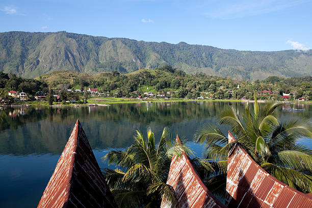
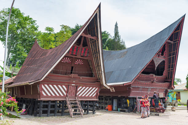
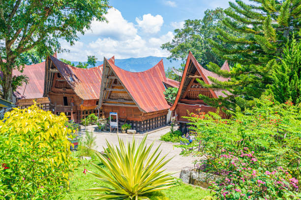
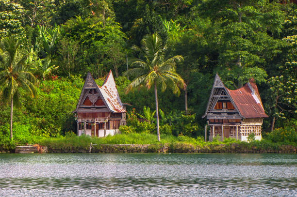
"Traditional Batak house at the lake Toba in Sumatra, Indonesia. Made of wood, similar to nautical vessel. Around are palm trees and some flowers."
Lake Toba is a beautiful place for travel destination
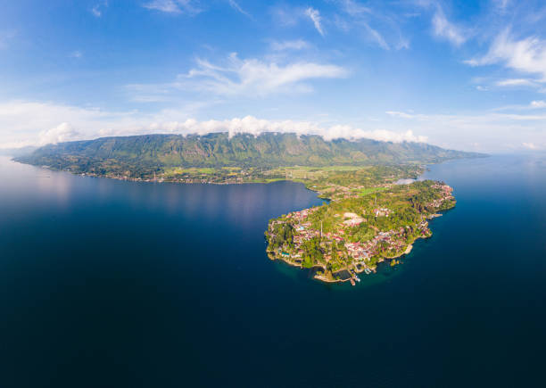
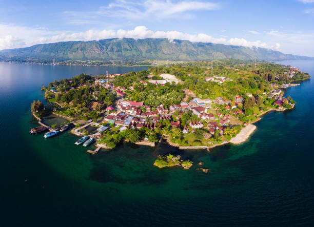
samosir island in lake toba indonesia
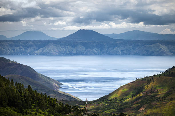
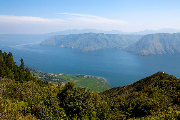
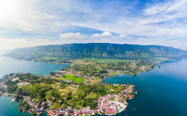
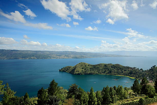
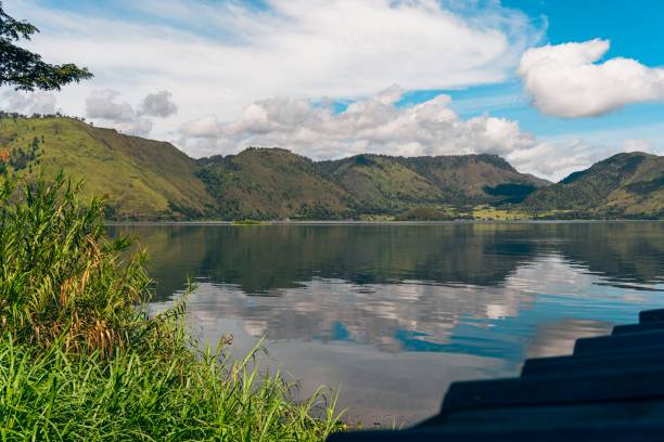
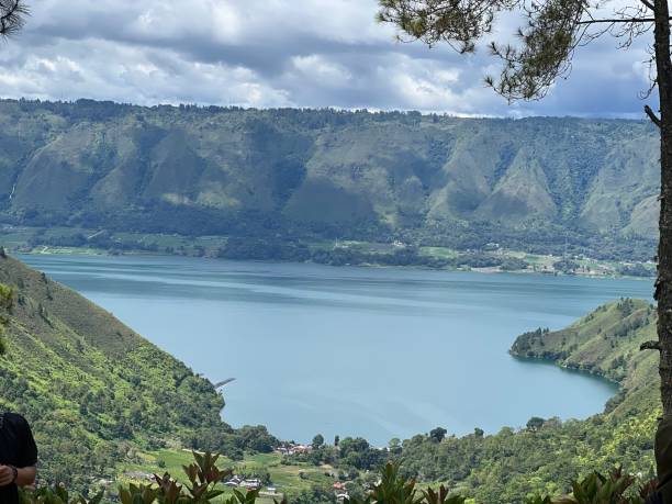
Danau Toba is a lake and supervolcano. Midday view over the largest lake in Indonesia and the largest volcanic lake in the world.
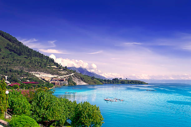
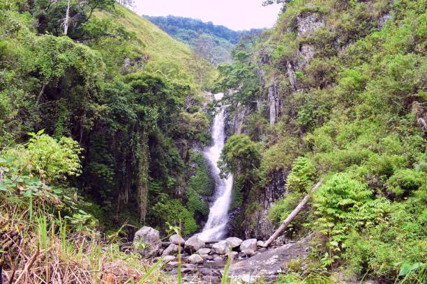
Lake Toba is one of the awesome natural wonders of the world.

Shore of the magnificent Lake Toba on the Sumatra Island, Indonesia
View of Lake Toba. North Sumatra, Indonesia.
Shore of the magnificent Lake Toba on the Sumatra Island, Indonesia
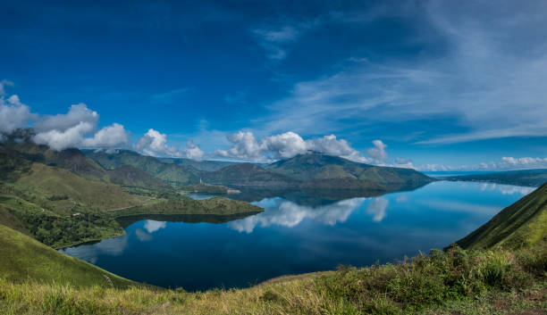
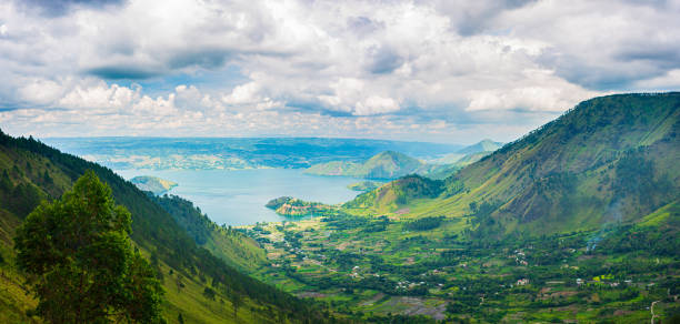
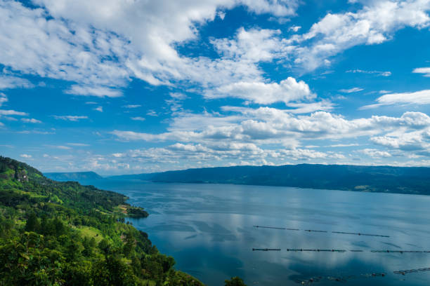
View of lake toba in panoramic form. Natural beauty of hills and lakes.
samosir island in lake toba indonesia
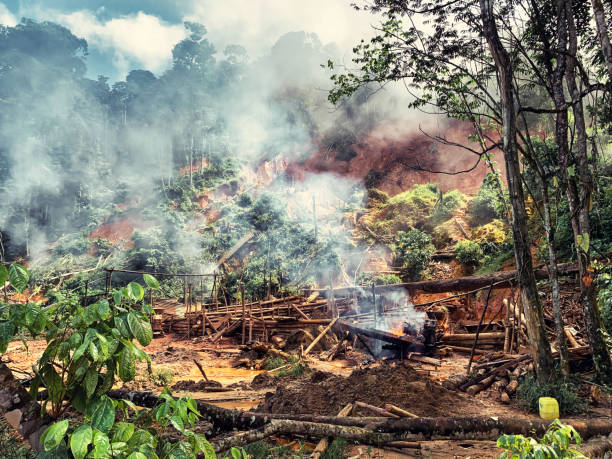
Maripasoula, French Guiana - July 01, 2022. View of an illegal gold panning site in French Guiana being destroyed by gendarmes during an operation to combat illegal gold panning in French Guiana. The clandestine gold mining that is rampant there is a scourge both for the environment and for the economic development of the territory.
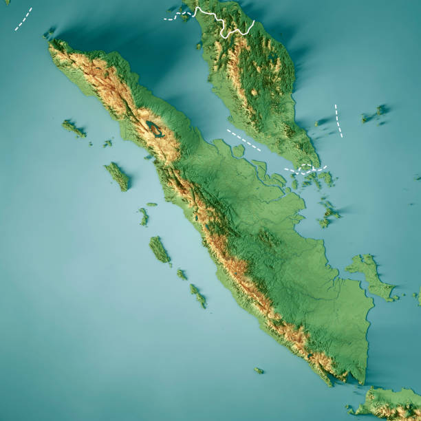
3D Render of a Topographic Map of Sumatra Island. Version with Country Boundaries. All source data is in the public domain. Color texture: Made with Natural Earth. http://www.naturalearthdata.com/downloads/10m-raster-data/10m-cross-blend-hypso/ Relief texture: SRTM data courtesy of NASA JPL (2020). URL of source image: https://e4ftl01.cr.usgs.gov//DP133/SRTM/SRTMGL3.003/2000.02.11 Water texture: SRTM Water Body SWDB: https://dds.cr.usgs.gov/srtm/version2_1/SWBD/ Boundaries Level 0: Humanitarian Information Unit HIU, U.S. Department of State (database: LSIB) http://geonode.state.gov/layers/geonode%3ALSIB7a_Gen
Lake Toba, Indonesia - circa february, 2019: Batak traditional houses in a row at Ambarita village, lake Toba, travel destination in Sumatra, Indonesia.
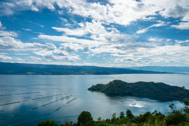
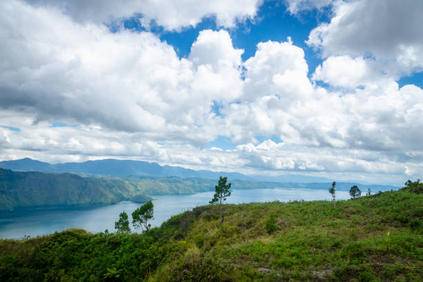
A panoramic shot of Lake Toba and Samosir Island all green on a warm spring day under the cloudy sky
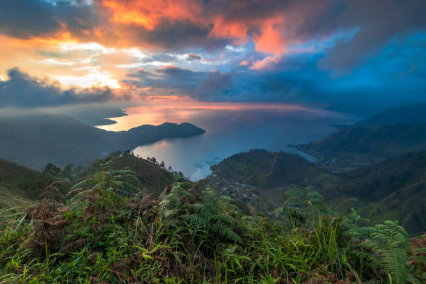
This picture taken at Sipolha Hill. Located in the circle of Lake Toba. When the sun burst shining appear, shining the beauty of Lake Toba.
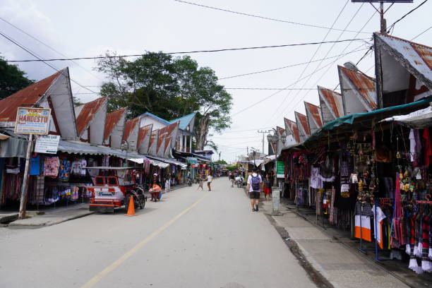
Villager selling their product at Tomok market. Samosir, or Samosir Island, is a large volcanic island in Lake Toba, located in the north of the island of Sumatra in Indonesia.
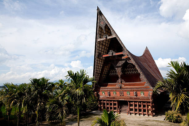
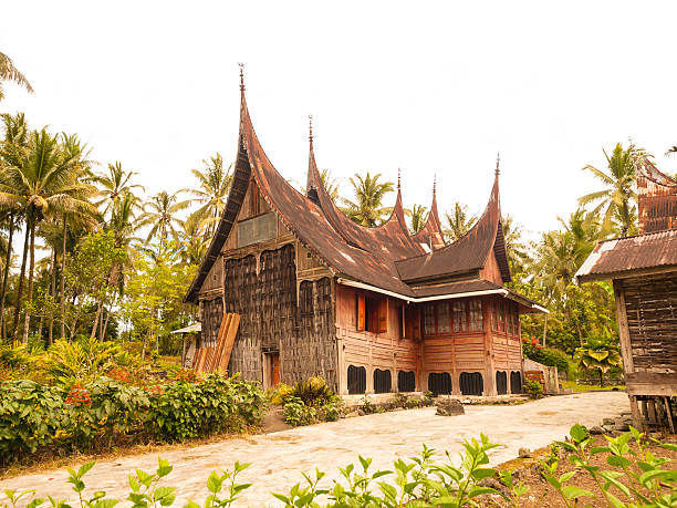
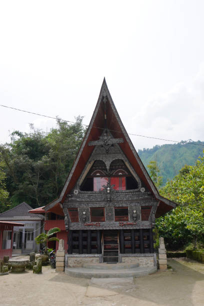
"Batak architecture refers to the related architectural traditions and designs of the various Batak peoples of North Sumatra, Indonesia. Batak houses are boat-shaped with intricately carved gables and upsweeping roof ridges."
Trek to Tobavarchkhili Lake, Svaneti, Georgia
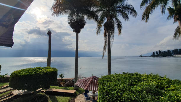
Lake Toba landscape in Tuktuk, North Sumattra, Indonesia. Lake Toba is a popular tourist destination in Sumatra, Indonesia.
samosir island in lake toba indonesia
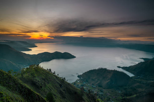
Beautiful Sunrise at Lake Toba, a biggest lake ini Southeast Asia
Scenic view of lake toba samosir island in north sumatra, indonesia
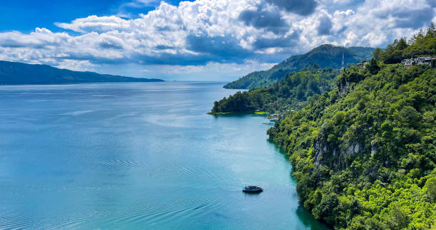
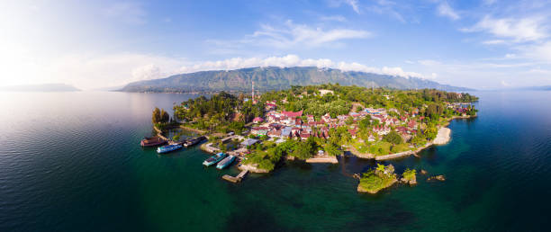
Indonesia, North Sumatra, View from the Samosir island on the Danau Toba (Toba lake)
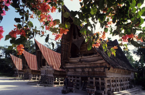
Traditional Toba Batak houses with buffalo horn inspired roofs at the village of Tomok on Samosir, Lake Toba, North Sumatra, Indonesia. Row of four typical wooden houses framed by flowering orange bougainvillea. The house in the foreground has a thatched roof while the three in the background have metal roofs. Horizontal color image.
Lake Toba, Indonesia - circa february, 2019: Batak traditional houses in a row at Ambarita village, lake Toba, travel destination in Sumatra, Indonesia.
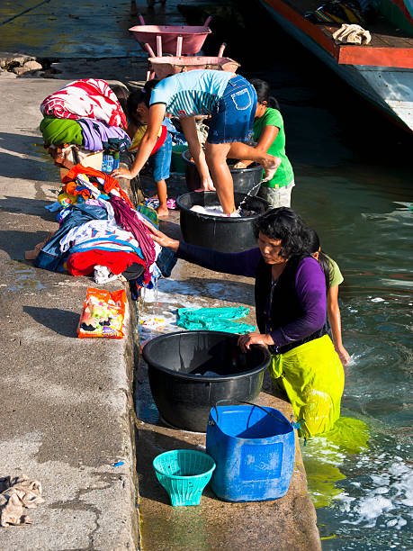
"Samosir, Indonesia - June 9, 2009: Group of women from island Samosir is washing their family clothes in the waters of lake Toba on boat pier. In front of them are bowls with water and in some of them are washed clothes"

Indonesia, North Sumatra, View from the Samosir island on the Danau Toba (Toba lake)
Tanjung Unta in Lake Toba with Samosir Island on the background
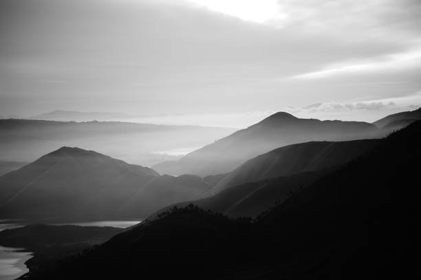
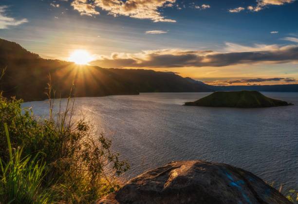
Toba Lake landscape when the sunrise
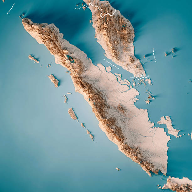
3D Render of a Topographic Map of Sumatra Island. Version with Country Boundaries. All source data is in the public domain. Color texture: Made with Natural Earth. http://www.naturalearthdata.com/downloads/10m-raster-data/10m-cross-blend-hypso/ Relief texture: SRTM data courtesy of NASA JPL (2020). URL of source image: https://e4ftl01.cr.usgs.gov//DP133/SRTM/SRTMGL3.003/2000.02.11 Water texture: SRTM Water Body SWDB: https://dds.cr.usgs.gov/srtm/version2_1/SWBD/ Boundaries Level 0: Humanitarian Information Unit HIU, U.S. Department of State (database: LSIB) http://geonode.state.gov/layers/geonode%3ALSIB7a_Gen
Houses on the lake shore of Samosir island in the middle of the volcanic lake Toba, Sumatra, Indonesia, Asia
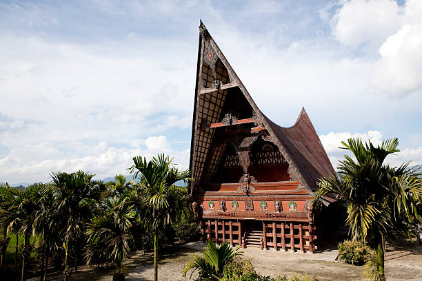
"Batak architecture refers to the related architectural traditions and designs of the various Batak peoples of North Sumatra, Indonesia. Batak houses are boat-shaped with intricately carved gables and upsweeping roof ridges."
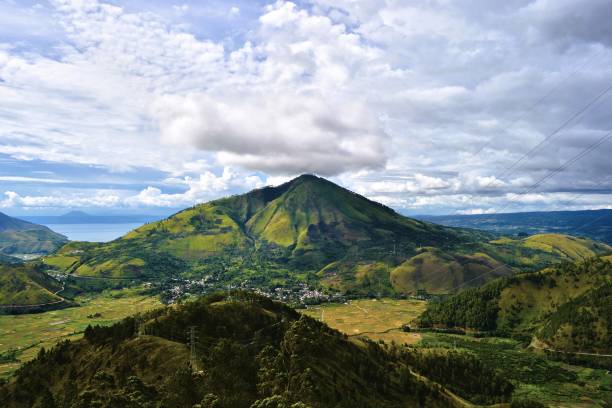
The beauty of the scenery on the island of Samosir, North Sumatra, will seduce you for a moment. A beautiful volcanic island lies in the middle of Lake Toba, which is also the largest lake in Southeast Asia. You will find cool and fresh air while in this North Sumatra tourist spot.
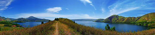
the large view of lake toba, indonesia
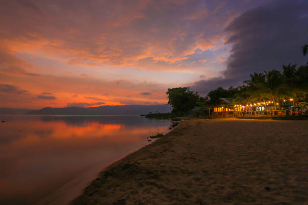
The beauty of Lake Toba sunset on the south side of the island of Samosir
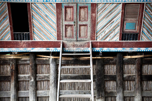
colorful architectural details of batak house
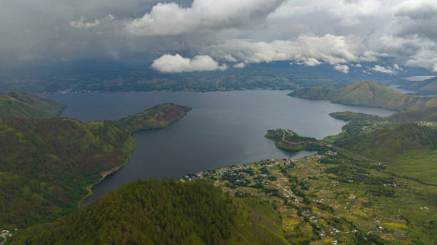
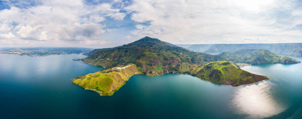
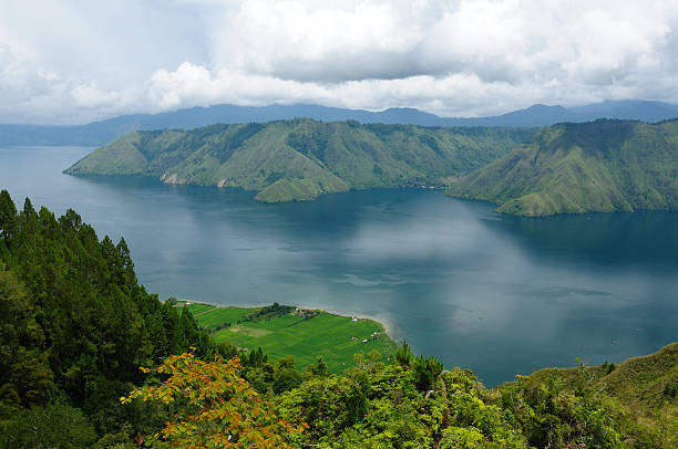
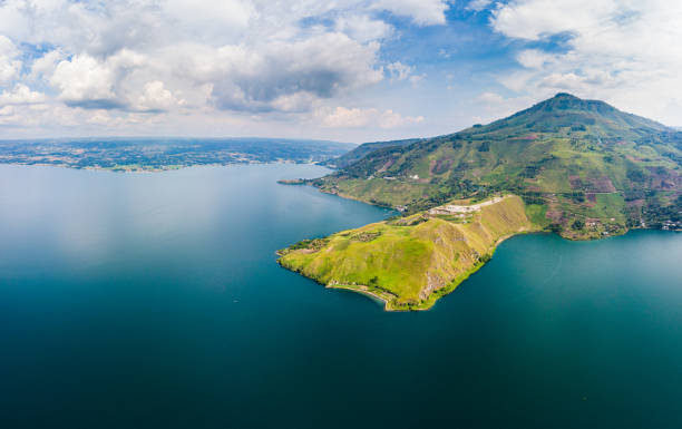
Top view of Lake Toba and Samosir island. among the mountains with tropical vegetation. Sumatra, Indonesia.
Lake Toba landscape in Tuktuk, North Sumattra, Indonesia. Lake Toba is a popular tourist destination in Sumatra, Indonesia.
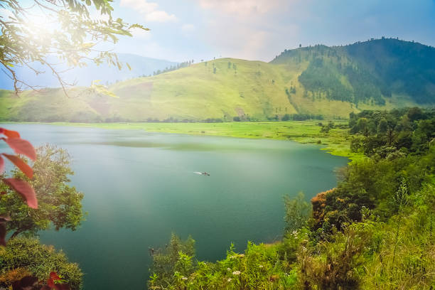
Beautiful nature of Lake Toba in North Sumatera
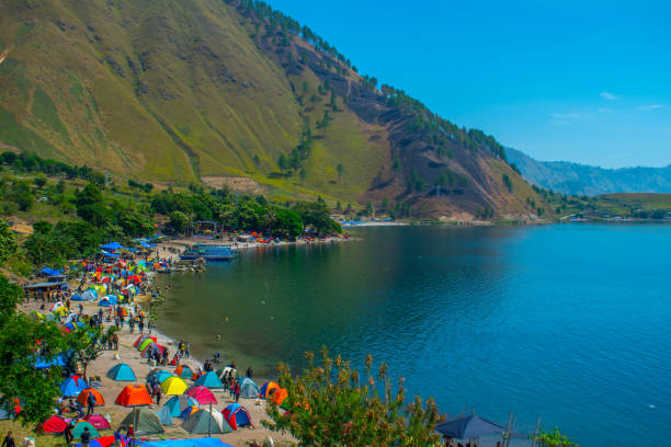
Hundreds of tents appear to be traced on the edge of the lake with green water around Paropo Island, in Silalahi Village, Silahisabungan Subdistrict, North Sumatra.
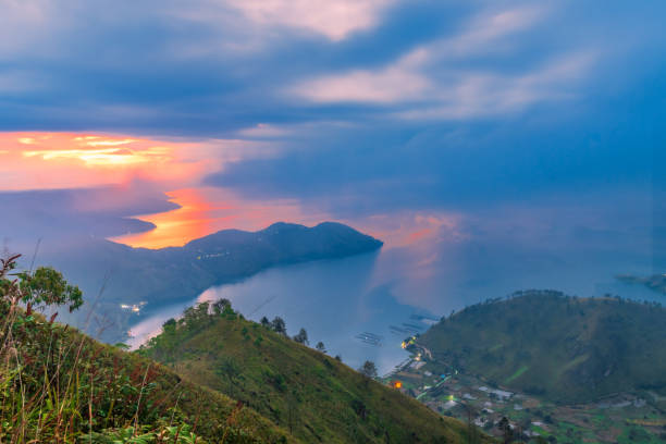
Beautiful view of Lake Toba with sunrise at background, Gajah Bobok Hills, Karo Tegency, North Sumatera
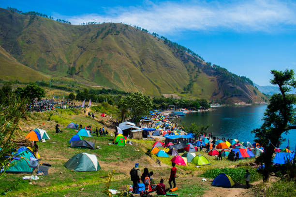
Hundreds of tents appear to be traced on the edge of the lake with green water around Paropo Island, in Silalahi Village, Silahisabungan Subdistrict, North Sumatra.

The beautiful scenery of Bakkara valley, Baktiraja surrounded by high mountains on the shores of Lake Toba.
A panoramic view of the beauty of the Caldera Geopark Toba on Samosir Island, North Sumatra, Indonesia.

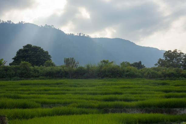
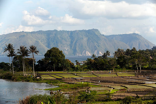
Rural Landscape. Lake Toba, North Sumatra, Indonesia.
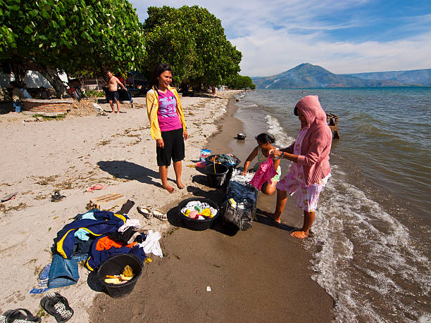
"Samosir, Indonesia - June 9, 2009: Group of women from island Samosir is washing their family clothes in the waters of lake Toba on the beach. In background are green trees and blue sky."
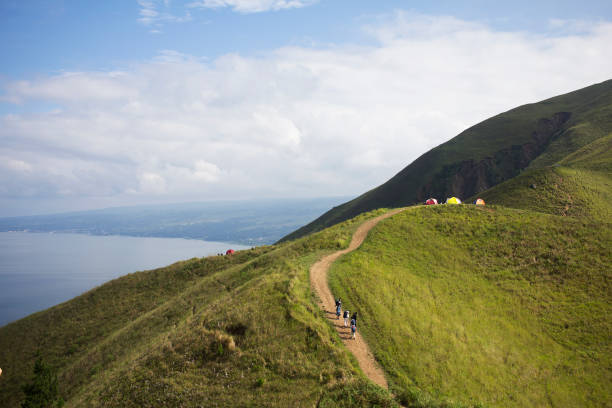
view Toba Lake from Top
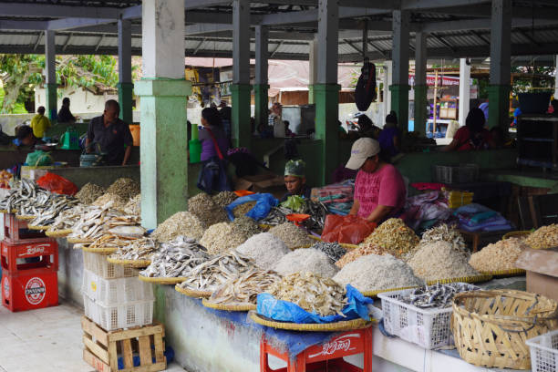
Weekly Market at Ambarita Traditional Market. A woman selling their local made seafood product at the market.
The wooden Batak museum Built in 2005, has a collection that describes the history and culture of the Batak Toba community
Lake Toba landscape in Tuktuk, North Sumatra, Indonesia. Lake Toba is a popular tourist destination in Sumatra, Indonesia.