Punjab map Stock Vector Images

100,000 Punjab map vector art & graphics are available under a royalty-free license

  • Best Match
  • Fresh
  • Popular
1-100 of 100,000
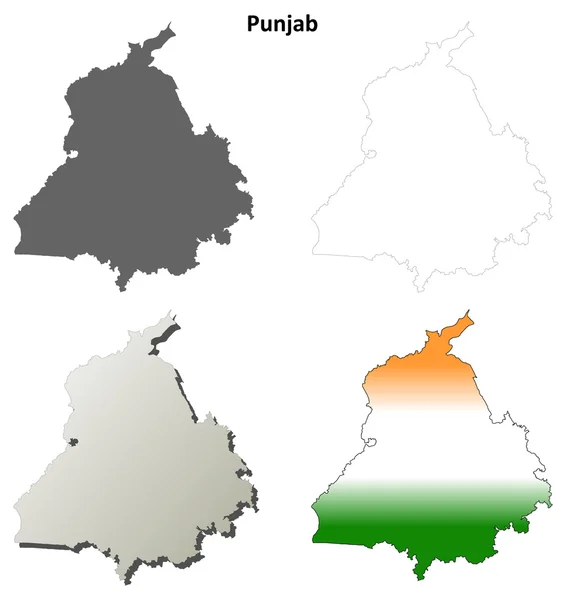
Punjab outline map set
Punjab outline map set — Stock Vector
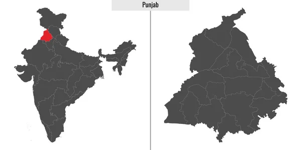
Map of Punjab state of India and location on Indian map
Map Punjab State India Location Indian Map — Stock Vector
Davanagere district (Karnataka State, Republic of India, Bangalore Division) map vector illustration, scribble sketch Davanagere map
Davanagere District Karnataka State Republic India Bangalore Division Map Vector — Stock Vector
Large map of the turkish area of Ic Anadolu Blgesi.
Large Map Turkish Area Anadolu Blgesi — Stock Vector
Accurate map of Belgium
Accurate map of Belgium — Stock Vector
Roraima Map, state of Brazil. Vector Illustration.
Roraima Map State Brazil Vector Illustration — Stock Vector
Gifu Map Silhouette Prefecture Frame Icon
Gifu Map Silhouette Prefecture Frame Icon — Stock Vector
Map of the city of Sao Paulo, Brazil. Drawing in simple lines
Map City Sao Paulo Brazil Drawing Simple Lines — Stock Vector
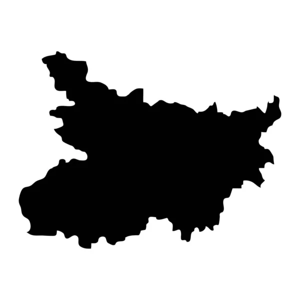
Bihar state map, administrative division of India. Vector illustration.
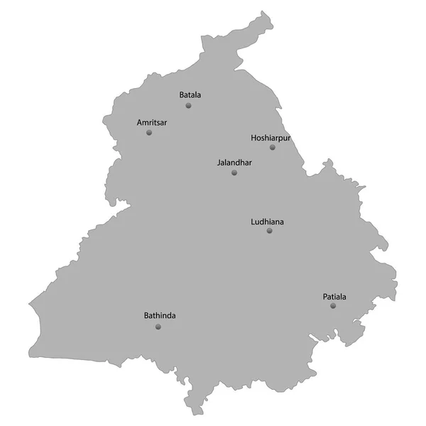
Bihar State Map Administrative Division India Vector Illustration — Stock Vector
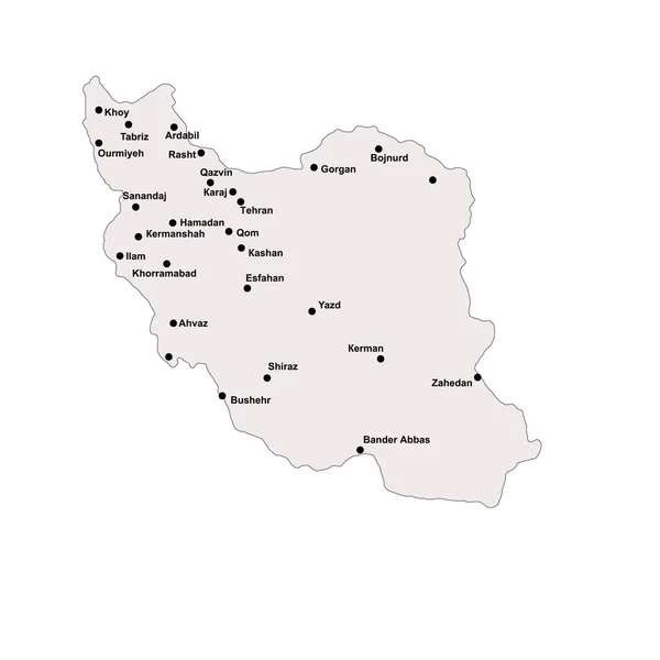
Iran outline map with stroke isolated on white background with major cities
Iran Outline Map Stroke Isolated White Background Major Cities — Stock Vector
Colombia - Highly detailed editable political map.
Colombia Highly Detailed Editable Political Map — Stock Vector
Grey Geographic Flat Map of Chinese Autonomous Region of Tibet
Grey Geographic Flat Map Chinese Autonomous Region Tibet — Stock Vector
Central Bosnia canton map, administrative district of Federation of Bosnia and Herzegovina. Vector illustration.
Central Bosnia Canton Map Administrative District Federation Bosnia Herzegovina Vector — Stock Vector
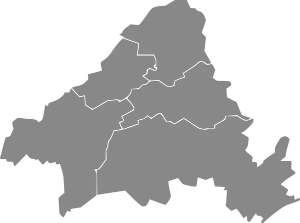
Gray flat blank vector administrative map of SOLINGEN, GERMANY with black border lines of its districts
Gray Flat Blank Vector Administrative Map Solingen Germany Black Border — Stock Vector
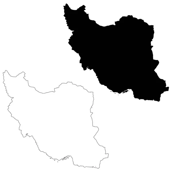
Vector map Iran. Isolated vector Illustration. Black on White background. EPS 10 Illustration.
Vector Map Iran Isolated Vector Illustration Black White Background Eps — Stock Vector
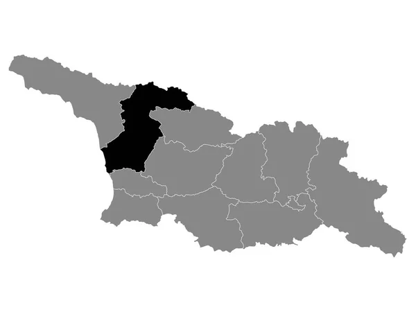
Black Location Map of Georgian Region of Samegrelo-Zemo Svaneti within Grey Map of Georgia
Black Location Map Georgian Region Samegrelo Zemo Svaneti Grey Map — Stock Vector
Accurate map of Cusco
Accurate Map Cusco — Stock Vector
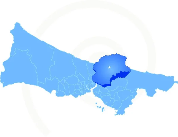
Vector Image - Map of Istanbul with each administrative district where Beykoz is pulled out isolated on white background.
Vector Image Map Istanbul Each Administrative District Beykoz Pulled Out — Stock Vector
Simple blank white vector administrative map with black borders of urban city districts of Mannheim, Germany
Simple Blank White Vector Administrative Map Black Borders Urban City — Stock Vector
Golden Vector Map of Henan Province
Golden Vector Map of Henan Province — Stock Vector
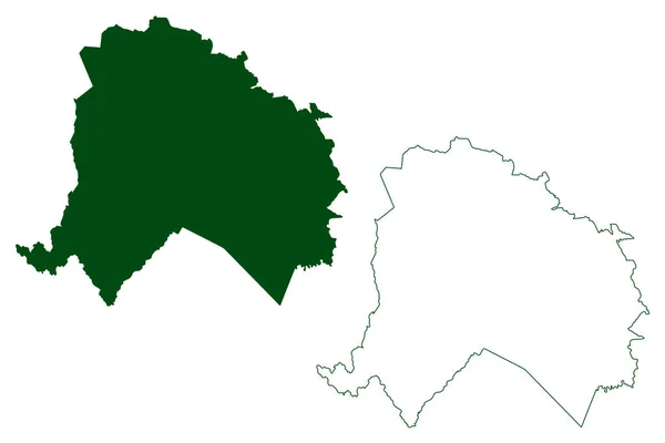
Cicero Dantas municipality (Bahia state, Municipalities of Brazil, Federative Republic of Brazil) map vector illustration, scribble sketch Cicero Dantas map
Cicero Dantas Municipality Bahia State Municipalities Brazil Federative Republic Brazil — Stock Vector
Ryazan City (Russian Federation, Russia) map vector illustration, scribble sketch City of Ryazan map
Ryazan City Russian Federation Russia Map Vector Illustration Scribble Sketch — Stock Vector
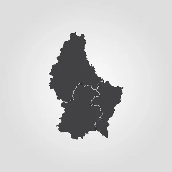
Map of Luxembourg
Map of Luxembourg — Stock Vector
Georgia map vector
Georgia map vector — Stock Vector
Black flat blank highlighted location map of the HONDELAGE DISTRICT inside gray administrative map of Braunschweig, Germany
Black Flat Blank Highlighted Location Map Hondelage District Gray Administrative — Stock Vector
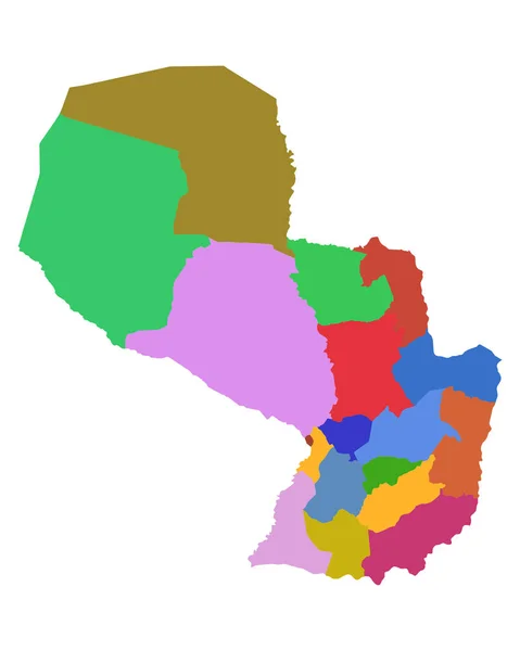
Map of Paraguay
Map of Paraguay — Stock Vector
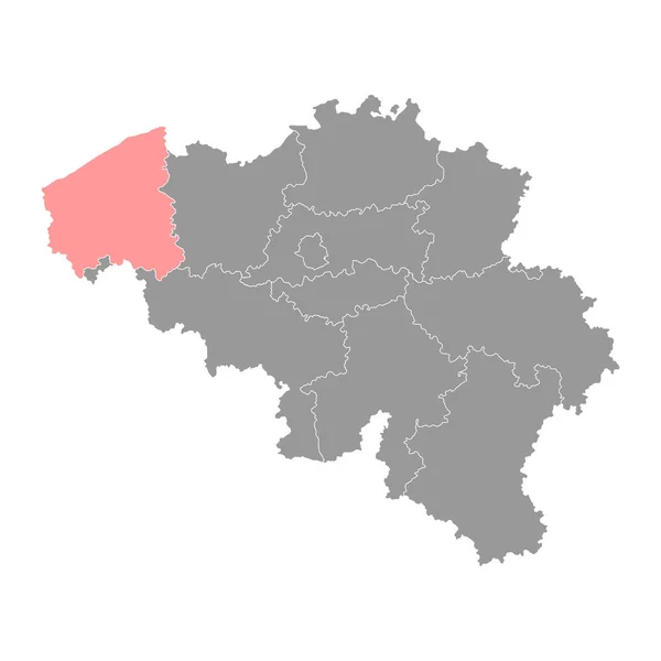
West Flanders Province map, Provinces of Belgium. Vector illustration.
West Flanders Province Map Provinces Belgium Vector Illustration — Stock Vector
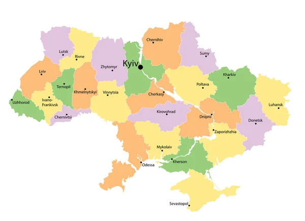
Administrative map of Ukraine with colored ukrainian areas. Vector illustration on white
Administrative Map Ukraine Colored Ukrainian Areas Vector Illustration White — Stock Vector
Sao Desiderio municipality (Bahia state, Municipalities of Brazil, Federative Republic of Brazil) map vector illustration, scribble sketch Sao Desiderio map
Sao Desiderio Municipality Bahia State Municipalities Brazil Federative Republic Brazil — Stock Vector
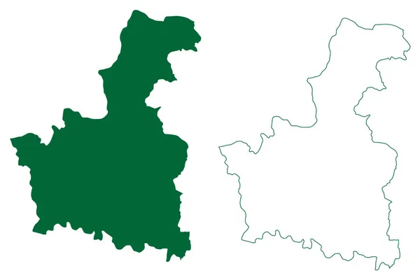
Koderma district (Jharkhand State, Republic of India, North Chotanagpur division) map vector illustration, scribble sketch Koderma map
Koderma District Jharkhand State Republic India North Chotanagpur Division Map — Stock Vector
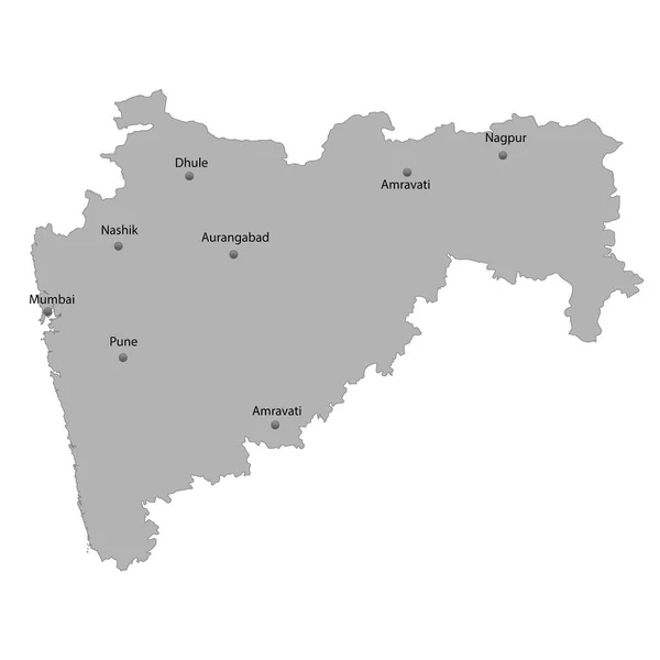
High Quality map state of India.
High Quality map state of India. — Stock Vector
Map of Slovenia
Map of Slovenia — Stock Vector
Map of Pakistan with regions and disputed territories. Vector illustration.
Map Pakistan Regions Disputed Territories Vector Illustration — Stock Vector
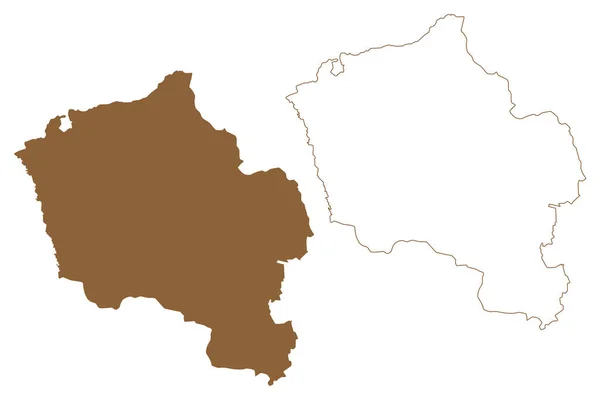
Oberwart district (Republic of Austria or Osterreich, Burgenland state) map vector illustration, scribble sketch Bezirk Oberwart map
Oberwart District Republic Austria Osterreich Burgenland State Map Vector Illustration — Stock Vector
Hamburg map silhouette vector, high detailed black silhouette illustration isolated on white background. Province in Germany.
Hamburg Map Silhouette Vector High Detailed Black Silhouette Illustration Isolated — Stock Vector
Lumbini Province (Federal Democratic Republic of Nepal, Administrative divisions) map vector illustration, scribble sketch Province No. 5 map
Lumbini Province Federal Democratic Republic Nepal Administrative Divisions Map Vector — Stock Vector
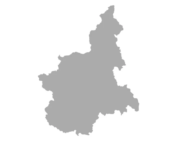
Accurate map of Piedmont
Accurate map of Piedmont — Stock Vector
High Quality map state of India.
High Quality map state of India. — Stock Vector
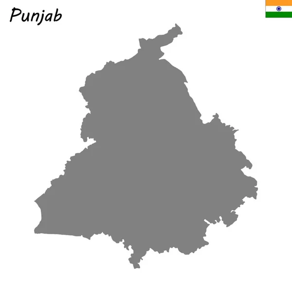
High Quality map of Punjab is a state of India
High Quality Map Punjab State India — Stock Vector
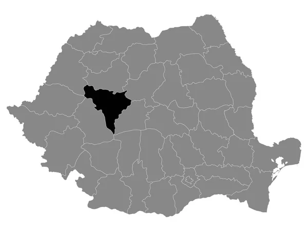
Black Location Map of Romanian Alba County within Grey Map of Romania
Black Location Map Romanian Alba County Grey Map Romania — Stock Vector
Cavan County Council (Republic of Ireland, Counties of Ireland) map vector illustration, scribble sketch Cavan ma
Cavan County Council (Republic of Ireland, Counties of Ireland) map vector illustration, scribble sketch Cavan ma — Stock Vector
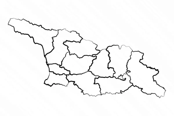
Hand Drawn Georgia Map Illustration
Hand Drawn Georgia Map Illustration — Stock Vector
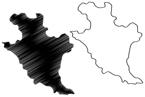
Bilaspur district (Chhattisgarh State, Bilaspur division, Republic of India) map vector illustration, scribble sketch Bilaspur map
Bilaspur District Chhattisgarh State Bilaspur Division Republic India Map Vector — Stock Vector
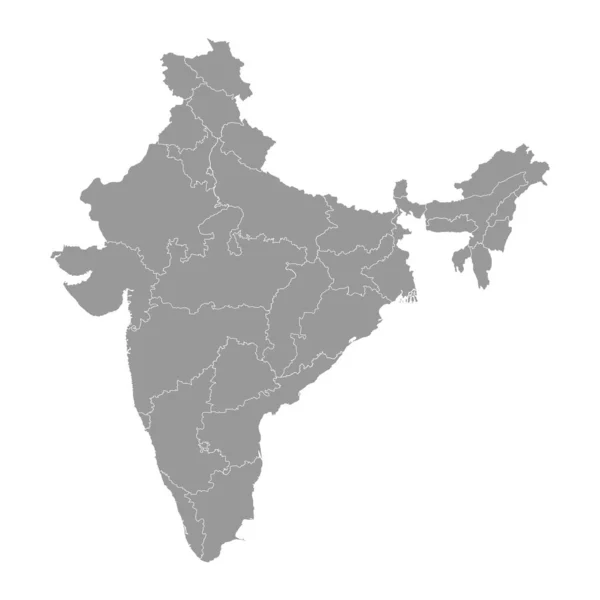
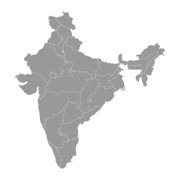
India grey map with administrative divisions. Vector illustration.
India Grey Map Administrative Divisions Vector Illustration — Stock Vector
Map of Luxembourg
Map of Luxembourg — Stock Vector
Bocoyna municipality (Free and Sovereign State of Chihuahua, Mexico, United Mexican States) map vector illustration, scribble sketch Bocoyna map
Bocoyna Municipality Free Sovereign State Chihuahua Mexico United Mexican States — Stock Vector
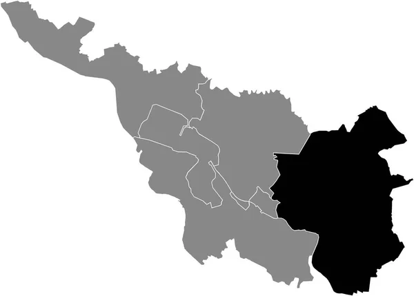
Black location map of the Bremer Obervieland subdistrict inside the German regional capital city of Bremen, Germany
Black Location Map Bremer Obervieland Subdistrict German Regional Capital City — Stock Vector
Black flat blank highlighted location map of the WALD DISTRICT inside gray administrative map of Solingen, Germany
Black Flat Blank Highlighted Location Map Wald District Gray Administrative — Stock Vector
Isolated vector Illustration. Black on White background. EPS 10 Illustration
Isolated Vector Illustration Black White Background Eps Illustration — Stock Vector
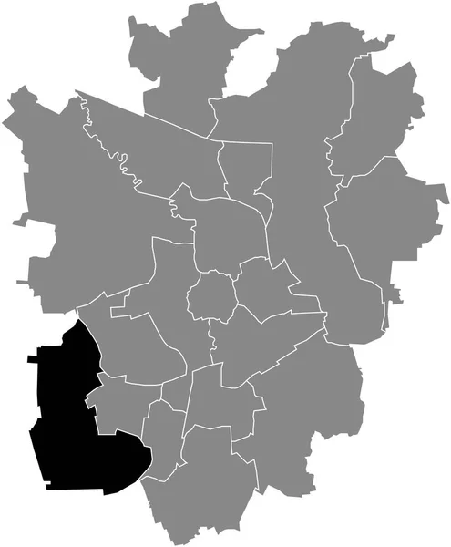
Black flat blank highlighted location map of the TIMMERLAH-GEITELDE-STIDDIEN DISTRICT inside gray administrative map of Braunschweig, Germany
Black Flat Blank Highlighted Location Map Timmerlah Geitelde Stiddien District — Stock Vector
White blank vector map of the Republic of South Sudan with black borders of its states
White Blank Vector Map Republic South Sudan Black Borders Its — Stock Vector
Black location map of the Bremer Strom subdistrict inside the German regional capital city of Bremen, Germany
Black Location Map Bremer Strom Subdistrict German Regional Capital City — Stock Vector
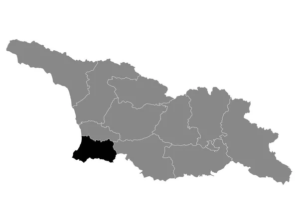
Black Location Map of Georgian Region of Adjara within Grey Map of Georgia
Black Location Map Georgian Region Adjara Grey Map Georgia — Stock Vector
Black location map of the Bremer Ost (East) district inside the German regional capital city of Bremen, Germany
Black Location Map Bremer Ost East District German Regional Capital — Stock Vector
Uri map, Cantons of Switzerland. Vector illustration.
Uri Map Cantons Switzerland Vector Illustration — Stock Vector
Gegharkunik province map, administrative division of Armenia.
Gegharkunik Province Map Administrative Division Armenia — Stock Vector
Hormigueros municipality (Commonwealth of Puerto Rico, Porto Rico, PR, Unincorporated territories of the United States) map vector illustration, scribble sketch Hormigueros map
Hormigueros municipality (Commonwealth of Puerto Rico, Porto Rico, PR, Unincorporated territories of the United States) map vector illustration, scribble sketch Hormigueros map — Stock Vector
Anseba region map, administrative division of Eritrea. Vector illustration.
Anseba Region Map Administrative Division Eritrea Vector Illustration — Stock Vector
Southern Midlands Council (Commonwealth of Australia, Tasmania, lutruwita) map vector illustration, scribble sketch Southern Midlands map
Southern Midlands Council Commonwealth Australia Tasmania Lutruwita Map Vector Illustration — Stock Vector
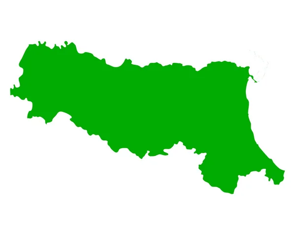
Map of Emilia-Romagna
Map of Emilia-Romagna — Stock Vector
Golden Vector Map of Jharkhand State
Golden Vector Map of Jharkhand State — Stock Vector
Gyaros island (Hellenic Republic, Greece, Cyclades Archipelago) map vector illustration, scribble sketch Gioura map
Gyaros Island Hellenic Republic Greece Cyclades Archipelago Map Vector Illustration — Stock Vector
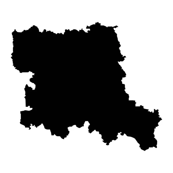
Stara Zagora map, province of Bulgaria. Vector illustration.
Stara Zagora Map Province Bulgaria Vector Illustration — Stock Vector
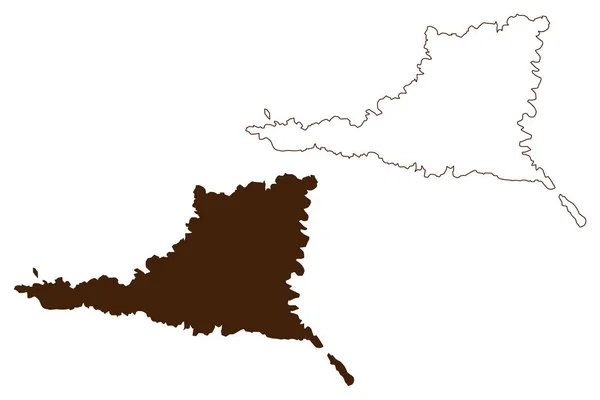
Fergusson island (Papua New Guinea, D'Entrecasteaux Islands Archipelago) map vector illustration, scribble sketch Fergusson map
Fergusson Island Papua New Guinea Entrecasteaux Islands Archipelago Map Vector — Stock Vector
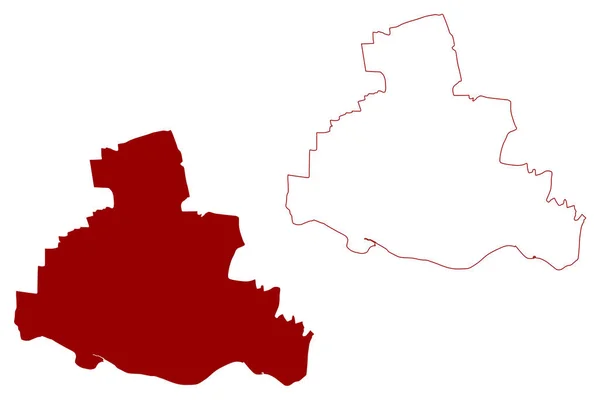
City and metropolitan borough of Newcastle upon Tyne (United Kingdom of Great Britain and Northern Ireland, Metropolitan and ceremonial county Tyne and Wear, England) map vector, scribble sketch map
City Metropolitan Borough Newcastle Tyne United Kingdom Great Britain Northern — Stock Vector
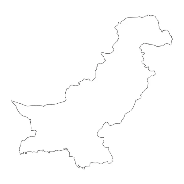
Highly detailed Pakistan map with borders isolated on background
Highly Detailed Pakistan Map Borders Isolated Background — Stock Vector
Black location map of the Bremer Blumenthal subdistrict inside the German regional capital city of Bremen, Germany
Black Location Map Bremer Blumenthal Subdistrict German Regional Capital City — Stock Vector
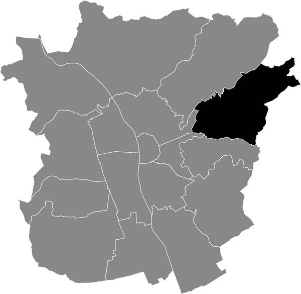
Black flat blank highlighted location map of the RIES DISTRICT inside gray administrative map of Graz, Austria
Black Flat Blank Highlighted Location Map Ries District Gray Administrative — Stock Vector
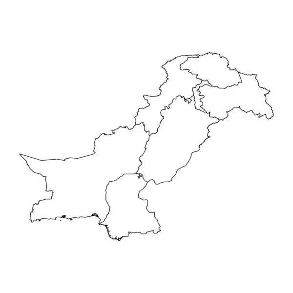
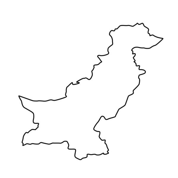
Vector Illustration. Line Map of Pakistan
Vector Illustration Line Map Pakistan — Stock Vector
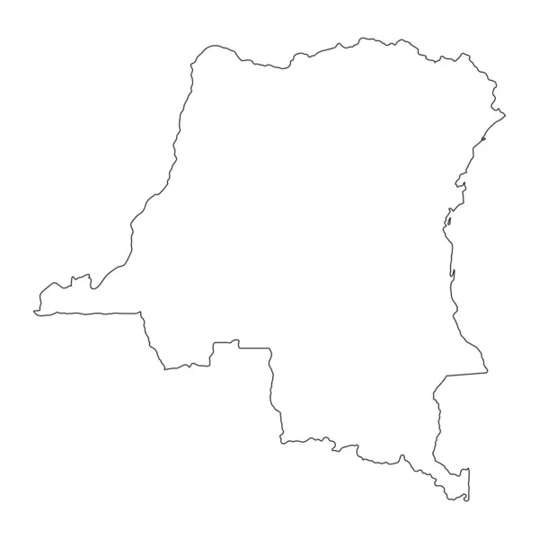
Highly detailed Democratic Republic of the Congo map with borders isolated on background
Highly Detailed Democratic Republic Congo Map Borders Isolated Background — Stock Vector
Delhi map, the capital of India. Vector illustration.
Delhi Map Capital India Vector Illustration — Stock Vector
Vector map Serbia. Isolated vector Illustration. Black on White background. EPS 10 Illustration.
Vector Map Serbia Isolated Vector Illustration Black White Background Eps — Stock Vector
Map of Santiago
Map of Santiago — Stock Vector
Nagano map icon
Nagano map icon — Stock Vector
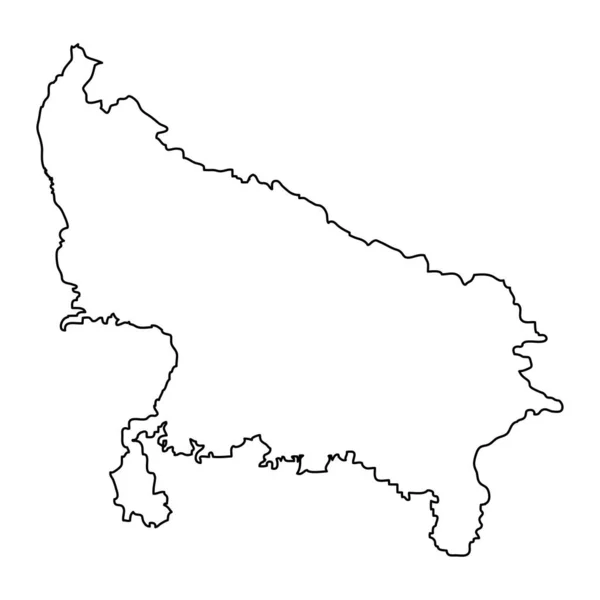
Uttar Pradesh state map, administrative division of India. Vector illustration.
Uttar Pradesh State Map Administrative Division India Vector Illustration — Stock Vector
Vector map Serbia. Isolated vector Illustration. Black on White background. EPS 10 Illustration.
Vector Map Serbia Isolated Vector Illustration Black White Background Eps — Stock Vector
Accurate map of Cusco
Accurate Map Cusco — Stock Vector
Stencil map of Slovenia Simple and minimal transparent map of Slovenia Black rectangle with cut
Stencil map of Slovenia Simple and minimal transparent map of Slovenia Black rectangle with cut — Stock Vector
Map of Slovenia
Map of Slovenia — Stock Vector
Japan map japan map
Japan map japan map — Stock Vector
Gray flat blank vector administrative map of BRAUNSCHWEIG, GERMANY with black border lines of its districts
Gray Flat Blank Vector Administrative Map Braunschweig Germany Black Border — Stock Vector
Paraguay
Paraguay — Stock Vector
Outline Sketch Map of Moldova With States and Cities
Outline Sketch Map Moldova States Cities — Stock Vector
Drama, Greece printable map
Drama, Greece printable map — Stock Vector
3d map of Belarus with borders of regions
Map Belarus Borders Regions — Stock Vector
Hamburg city silhouette map isolated on white background, Germany
Hamburg City Silhouette Map Isolated White Background Germany — Stock Vector
Salem city County, Commonwealth of Virginia (Independent city, U.S. county, United States of America, USA, U.S., US) map vector illustration, scribble sketch Salem map
Salem City County Commonwealth Virginia Independent City County United States — Stock Vector
Castile la mancha map, Spain region. Vector illustration.
Castile Mancha Map Spain Region Vector Illustration — Stock Vector
Bytom City (Republic of Poland, Silesian Voivodeship) map vector illustration, scribble sketch City of Bytom map
Bytom City Republic Poland Silesian Voivodeship Map Vector Illustration Scribble — Stock Vector
Serbia World map country icon
Serbia World Map Country Icon — Stock Vector
Simple outline map of Hamburg is a state of Germany. Stylized minimal line design
Simple Outline Map Hamburg State Germany Stylized Minimal Line Design — Stock Vector
GRAY CMYK color detailed flat stencil map of the European country of BELARUS on transparent background
Gray Cmyk Color Detailed Flat Stencil Map European Country Belarus — Stock Vector
Simple vector black administrative map of the German regional capital city of Leipzig, Germany
Simple Vector Black Administrative Map German Regional Capital City Leipzig — Stock Vector
Democratic Republic of the Congo map color line element. Border of the country.
Democratic Republic Congo Map Color Line Element Border Country — Stock Vector
Vector map Languedoc Roussillon province, France region. Languedoc Roussillon silhouette map illustration isolated on white background. French territory.
Vector Map Languedoc Roussillon Province France Region Languedoc Roussillon Silhouette — Stock Vector
Yadgir district (Karnataka State, Republic of India, Gulbarga Division) map vector illustration, scribble sketch Yadagiri map
Yadgir District Karnataka State Republic India Gulbarga Division Map Vector — Stock Vector
Iran - solid black outline border map of country area. Simple flat vector illustration
Iran - solid black outline border map of country area. Simple flat vector illustration — Stock Vector
Serbia Map - Vintage Detailed Vector Illustration
Serbia Map - Vintage Detailed Vector Illustration — Stock Vector
Dhanbad district (Jharkhand State, Republic of India, North Chotanagpur division) map vector illustration, scribble sketch Dhanbad map
Dhanbad District Jharkhand State Republic India North Chotanagpur Division Map — Stock Vector

Using Punjab Map Vector Images for Your Next Project

Are you looking for high-quality vector images of the map of Punjab? Look no further! We offer a range of beautifully crafted Punjab map vector images that can be used for various purposes.

Types of Images Available

Our Punjab map vector images are available in three different file formats – JPG, AI, and EPS. These file formats are widely used and compatible with various design software, making them easy to edit and customize. Our images are designed with precision and attention to detail, ensuring that each element is accurate and in the right proportion.

Perfect for Various Projects

Our Punjab map vector images are perfect for a variety of projects, including but not limited to:

  • Academic research papers
  • Presentations and slideshows
  • Lesson plans and educational materials
  • Brochures and flyers
  • Posters and banners

Our images are versatile and can be used for any project that requires a Punjab map visual.

Practical Tips for Using Images Correctly

When incorporating images into your design, it's essential to use them correctly to avoid copyright infringement and achieve your desired aesthetic. Here are some practical tips for using Punjab map vector images:

  • Choose the right file format and resolution for your project.
  • Ensure that you have the necessary licenses and permissions to use the image for commercial or personal use.
  • Use the image in the appropriate context, ensuring that it doesn't offend or misrepresent specific communities or individuals.
  • Customize the image to suit your project's unique needs, such as changing the color scheme to match your brand's color palette.
  • Finally, give proper attribution to the creator of the image if necessary.

Conclusion

Our Punjab map vector images are designed to save you time and effort in creating aesthetically pleasing visuals. With the right skills and knowledge, these images are versatile and can be used in various projects. Get the perfect Punjab map vector image for your next project today!